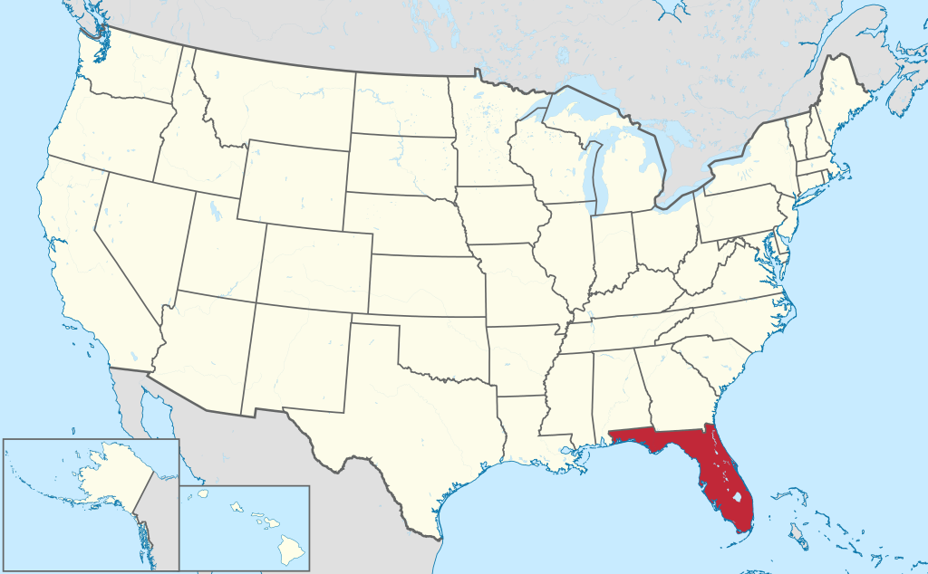
Florida
 Florida is a state in the southeastern United States, bordering Georgia and Alabama. Most of the state is a peninsula extending into the Atlantic Ocean and Gulf of Mexico. Its capital is Tallahassee, and major cities include Miami, Jacksonville, Orlando, and Tampa. Indigenous peoples in the area include the Apalachee, the Timucua, and the Seminoles. Florida is home to the oldest European settlement in the United States, St. Augustine, founded in 1565 by Spanish colonists. Conquistador Ponce de Leon named the area Florida. The Spanish controlled the area before the newly formed United States purchased the land in 1819. Florida became a state in 1845. The US wages several wars against the Seminole tribes: the First Seminole War (1816-1819) led by Andrew Jackson, the Second Seminole War (1835-1842), which was one of the bloodiest wars against Native Americans, and the Third Seminole War (1855-1858). The Indian Removal Act (1830) forced many Seminoles to move to present-day Oklahoma, which led to the Second Seminole War. During the American Civil War, Florida fought for the Confederacy, having seceded from the union in 1861. Florida today has a diverse population with many Latinx communities, especially of Cuban and Puerto Rican heritage. It is known for its hot weather and tourism with its many beaches, Kennedy Space Center, and Disney World.
Coordinates
Longitude: -81.515753500000
