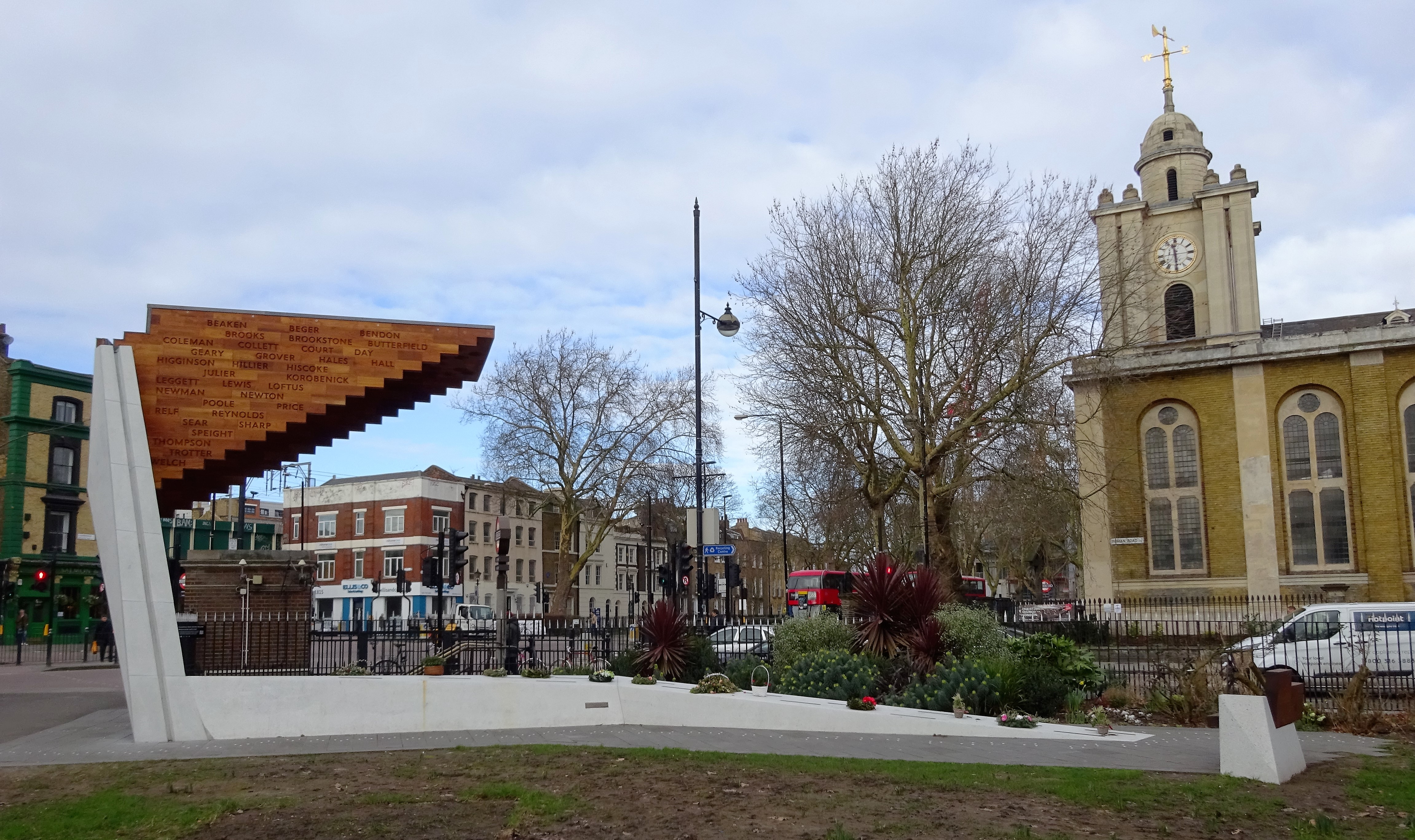
Bethnal Green
Bethnal Green is an area in the Modern borough of Tower Hamlets, in the East End of London. In the 19th century, Bethnal Green became one of the poorest slums in London and its western end was the site of some of Jack the Ripper's crimes.
In London Labour and the London Poor edition:
Phase 1
London Considered as a Great World. (The Great World of London): "Viewing the Great Metropolis, therefore, as an absolute world, Belgravia and Bethnal Green become the opposite poles of the London sphere - the frigid zones, as it were, of the Capital; the one icy cold from its exceeding fashion, form, and ceremony; and the other wrapt in a perpetual winter of withering poverty. Of such a world, Temple Bar is the unmistakable equator, dividing the City hemisphere from that of the West End, and with a line of Banks, representative of the Gold Coast, in its immediate neighbourhood. What Greenwich, too, is to the merchant seamen of England, Charing Cross is to the London cabmen - the zero from which all the longitudes of the Metropolitan world are measured."
Of the Street Sellers of Live Birds. (Volume 2): "The price of a canary of an average quality was then from 5s. to 8s. 6d., and a fair proportion were street-sold. At that period, I was told, the principal open-air sale for canaries (and it is only of that I now write) was in Whitechapel and Bethnal-green. All who are familiar with those localities may smile to think that the birds chirping and singing in these especially urban places, were bred for such street-traffic in the valleys of the Rhætian Alps!"
Phase 2
Of the Number of Street Stalls. (Volume 1)
Of the Quantity of Shrubs, “Roots,” Flowers, etc., sold in the Streets, and of the Buyers. (Volume 1)
OF THE WOMEN STREET-SELLERS. (Volume 1)
Guy Fawkeses. (Volume 3)

Coordinates
Longitude: -0.048080500000
